Reisplanner
Maritime route planning that knows the infrastructure
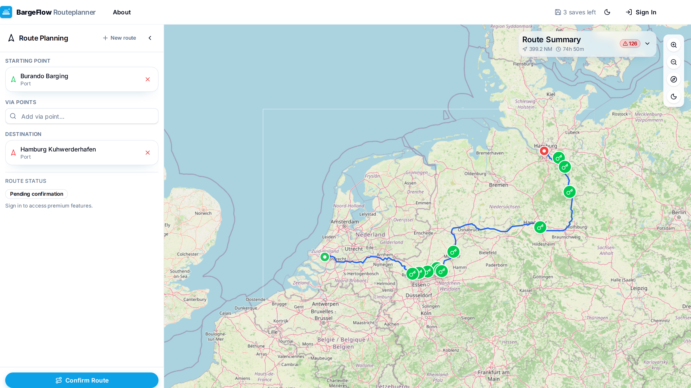
Avoid surprises along the way and plan realistic sailing times based on the actual infrastructure. Route planning for inland shipping on an interactive map, with draggable waypoints and via-points — accounting for bridges, locks and operating hours, and for your vessel's dimensions and fuel consumption.
Multiple routing strategies, options to avoid specific infrastructure, and a print-ready route description for on board. Save and recall routes and review your sailing history.
What it does
- Interactive map with draggable waypoints and via-points
- Accounts for bridges, locks and operating hours
- Tailored to your vessel's dimensions and fuel consumption
- Multiple routing strategies and avoid-infrastructure options
- Print-ready route description, saved routes and sailing history
What's new
Recent improvements, newest first.
-
VHF channels automatically per sailing zone
July 2026The planner detects which VTS sectors your route crosses and shows the correct VHF channel per zone on the map, in the print and in the PDF — with reporting points pre-filled. Fed by the open Rijkswaterstaat fairway information service.
-
Export to your onboard navigation
July 2026Your route can now be exported as an RTZ file (IEC 61174) for ECDIS and as a Tresco Navigis .route for Inland ECDIS, so you load the planned track straight into the chart plotter on board.
-
Passage plan to international guidelines
July 2026An extra wizard step supports a structured passage plan (per IMO A.893 and OCIMF SIRE): under-keel-clearance policy, no-go areas, abort points, contingency anchorages, reporting points and skipper sign-off — carried through into the PDF.
-
Clearer sign-in and password management
July 2026Sign-in and password-reset errors are now shown clearly on screen, the recovery link no longer silently logs you in, and you change your password from a new Account tab in your profile.
-
Live water and tide data per stop
June 2026For every stop, the expected water level, tide (HW/LW) and river discharge are shown based on arrival time, plus live EuRIS data (operating hours, water levels, notices to skippers) on the map and in the print.
-
Sail leaner: speed versus fuel
June 2026A what-if comparison shows how your speed affects both travel time and fuel consumption, highlighting the best time/fuel trade-off and an emissions profile per engine class.
For skippers and planners who want a route that matches the reality of the waterway network, not the shortest line on a road map.
Reisplanner
reisplanner.app